


13.9 km | 15.9 km-effort

User


FREE GPS app for hiking
 SityTrail
IGN / Geographical institutes
SityTrail World
The world is yours!
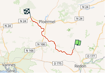
Trail Road bike of 56 km to be discovered at Brittany, Morbihan, La Gacilly. This trail is proposed by ilur56.
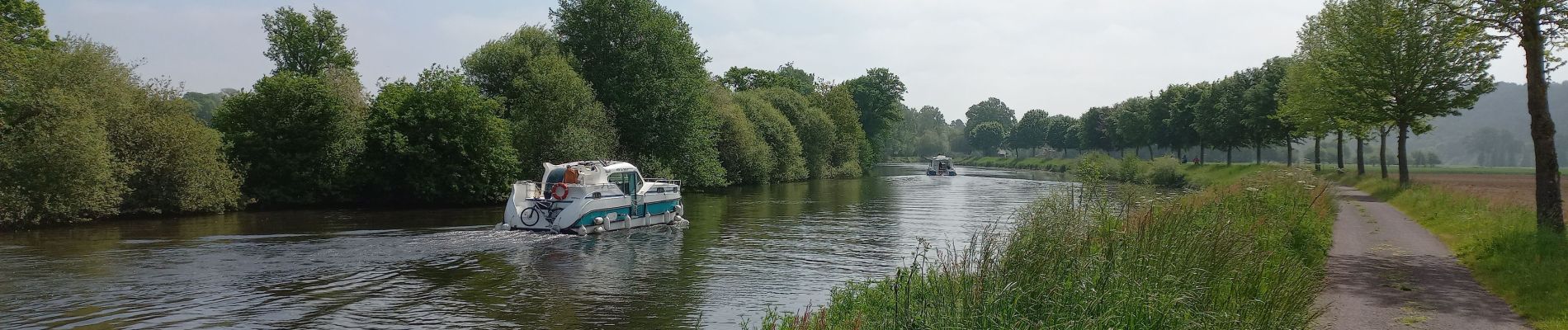
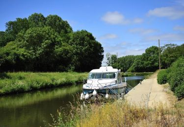
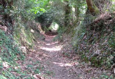
Redescendre de La Gacilly pour récupérer le canal de Nantes à Brest et se diriger vers Josselin via Malestroit


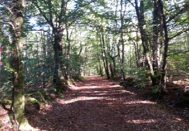
Walking
Walking
Walking
Equestrian
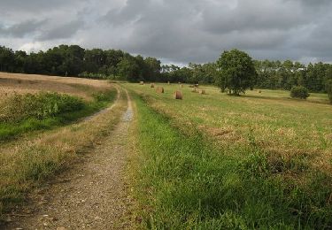
Walking
Walking
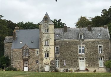
Walking

Walking

Walking